
Positioned Within a Growing El Dorado County Corridor

Piedmont Oak Estates is located in El Dorado County near Placerville and the Highway 49 / Highway 50 corridor, positioned between the Sacramento region and South Lake Tahoe.
The project benefits from regional highway connectivity, expanding residential demand, and continued commercial and infrastructure investment throughout western El Dorado County.
Nearby amenities include:
Historic downtown Placerville
Retail and services within the Missouri Flat corridor
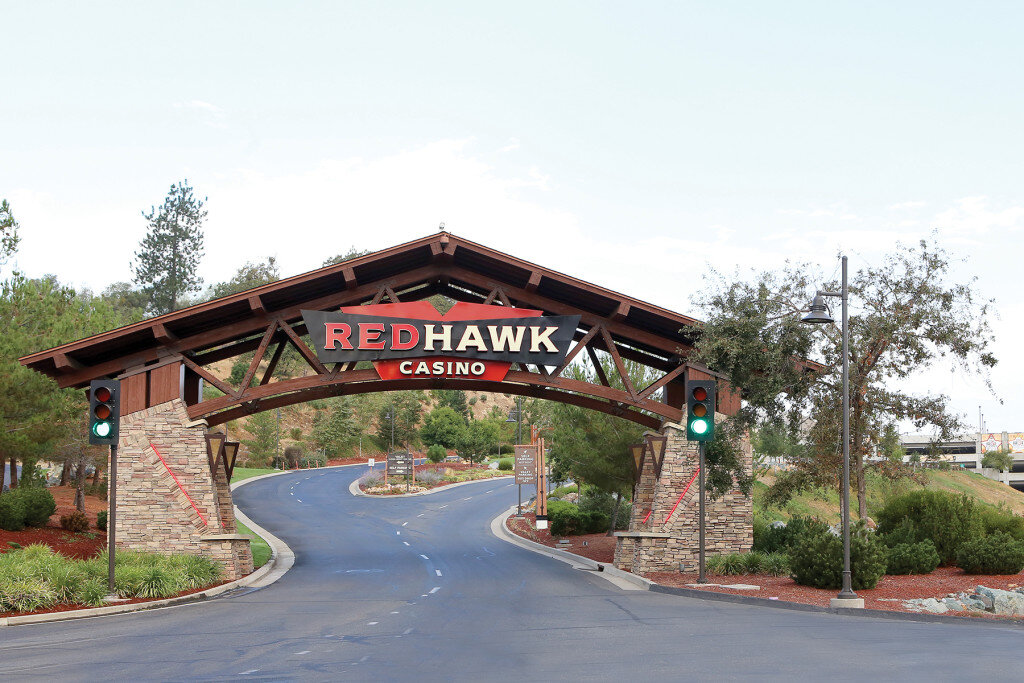
Access to outdoor recreation and Sierra Nevada destinations
Proximity to the Sacramento employment base
Highway & Access Connectivity

Piedmont Oak Estates is positioned near Highway 49 and the Highway 50 corridor, providing convenient access to Placerville, Diamond Springs, Sacramento, and South Lake Tahoe.
The site is approximately 3 miles south of Placerville and 1 mile north of Diamond Springs, with Highway 50 access via Missouri Flat Road. The new Diamond Parkway connection further improves access between Missouri Flat Road and Highway 49.
Key access advantages include:
Approximately 3 miles to Highway 50
Approximately 40 miles east of Sacramento
Approximately 60 miles west of South Lake Tahoe
Highway 49 frontage near Placerville and Diamond Springs
Access to regional retail, services, employment, and recreation corridors
Area Growth & Development
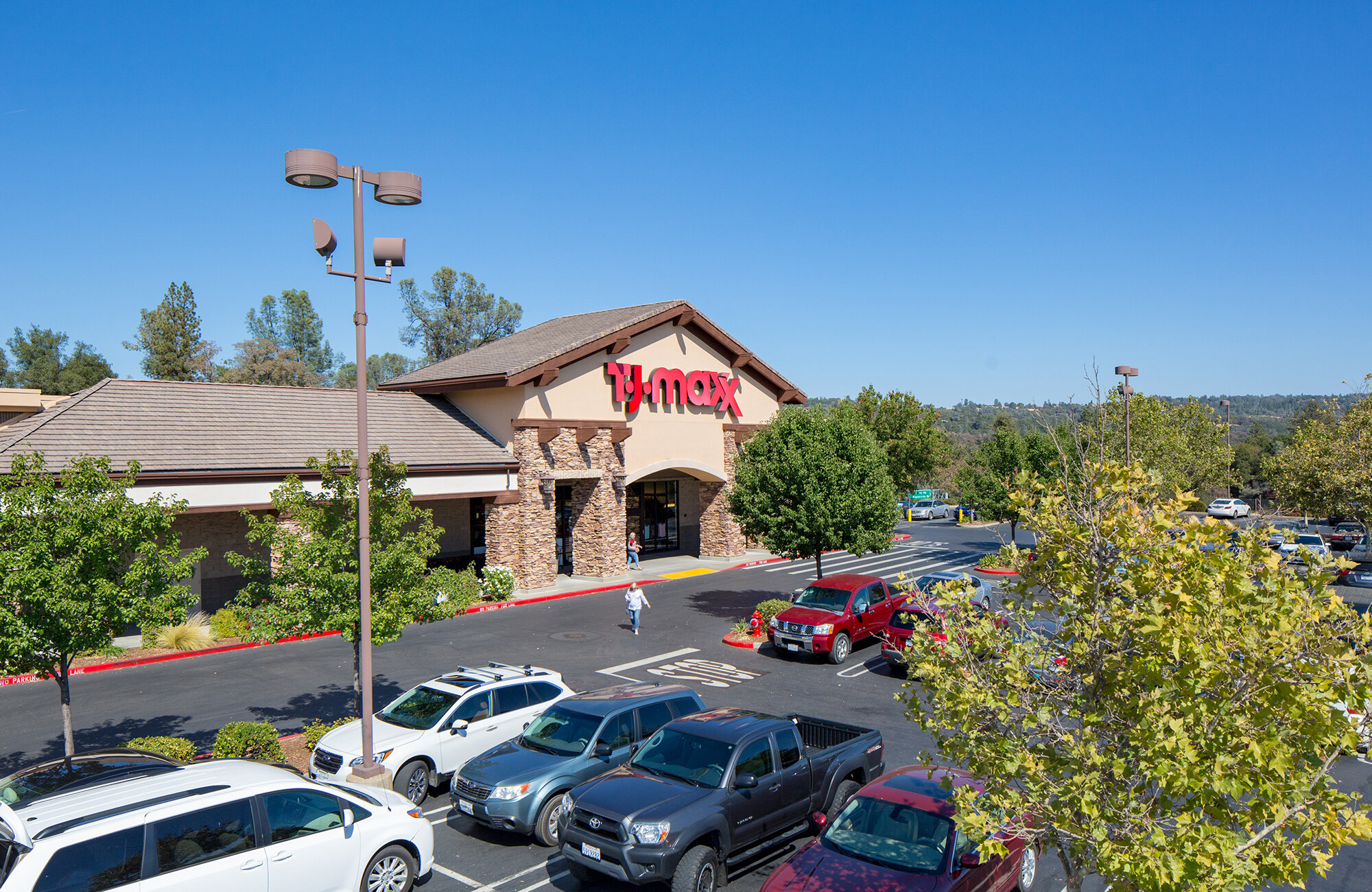
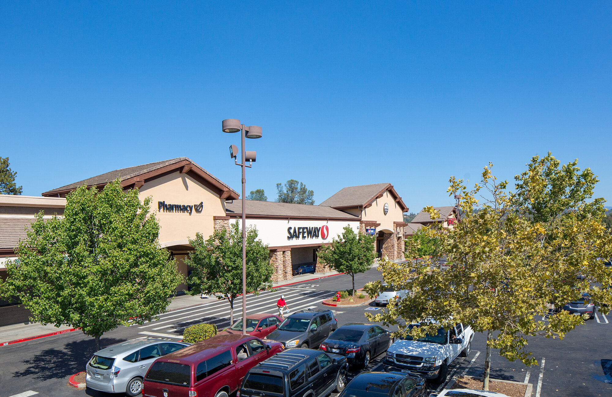
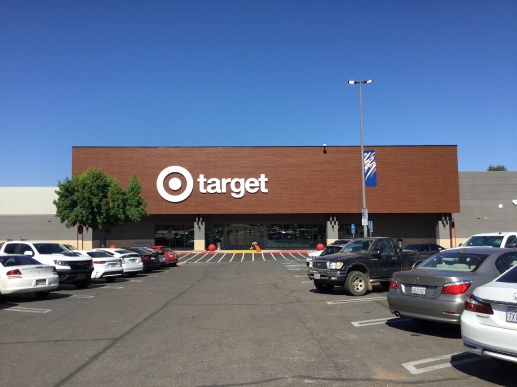
Western El Dorado County has experienced significant residential and commercial growth over the past decade, particularly within the Missouri Flat Road and Placerville corridor. Major nearby retailers and services include:
Target
Walmart
Safeway
Home Depot
TJ Maxx
Walgreens
Additional regional retail and dining uses
Recent and ongoing infrastructure investments continue improving connectivity and accessibility throughout the corridor.


El Dorado DEMOGRAPHICS

Population: 192,323 (2025 U.S. Census Estimate)
Total Households: 76,185
Persons Per Household: 2.50
Median Household Income: $108,845 (Over 9% higher than the California average)
Median Home Value: $679,900
Owner-Occupied Housing Rate: 77.2%
Health & Wellness: Consistently ranks in the top tier of California’s healthiest counties.
Market Outlook: Local real estate trends show highly stable demand, with standard home appreciation forecasted at a steady 3% to 6% through 2026.
Sources: U.S. Census Bureau QuickFacts & California Association of Realtors
Request Additional Information
Qualified developers, builders, brokers, and investment groups are invited to request additional project materials and discuss potential acquisition or partnership opportunities.